SLS Mapping Ski/Hiking Trails – Final Update
Software and Editing STL Files Figure 1. NX-edited model of slopes in Jackson Hole Figure 2. Rhino-Edited Prototype Print of Jackson Hole hiking Trail Section The importance of using a powerful STL editing tool …
SLS Mapping Ski/Hiking Trails – Project Update
Converting a Terrain Map into a 3D Printed Detailed Track First run: What We Learned We were able to create a printable model of a section of Jackson Hole Ski Trail. However, the model …
SLS Mapping – Ski/Hiking Trails
Background Topographic maps usually use contour lines to represent the amount of variation in elevation and slope in a particular area. However, contour lines are not a particularly intuitive method of representation for such variations. …
- More SLS Mapping posts
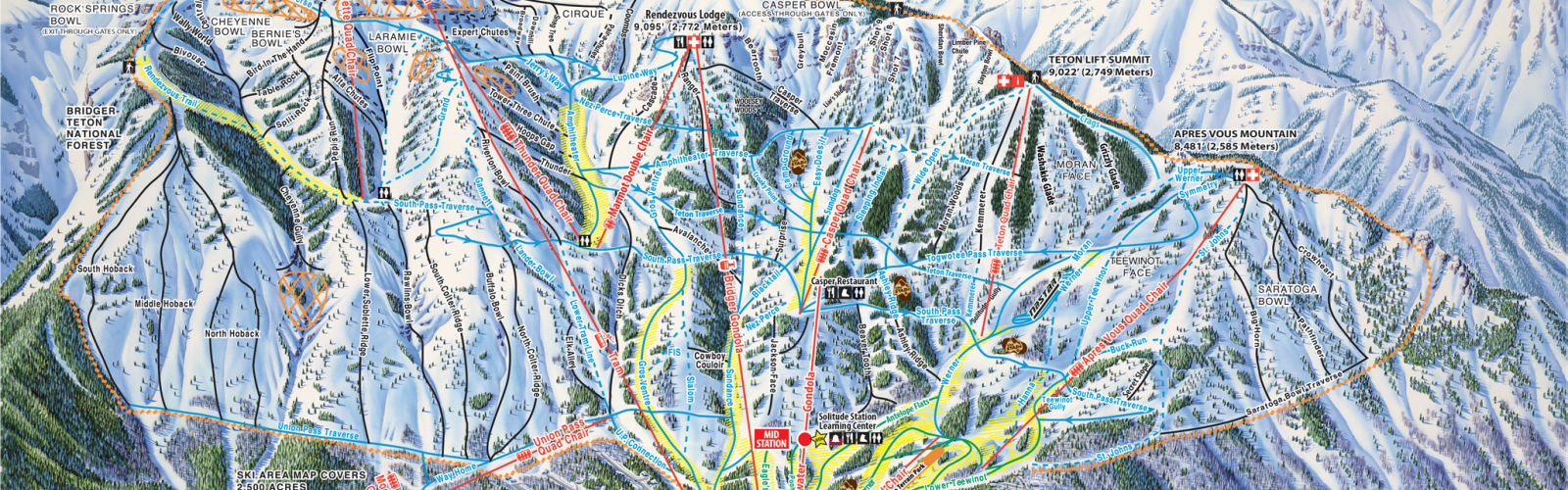
Using SLS or FDM to map a ski slope or a hiking trail could allow for a three dimensional topographic map that is intuitive and easily accessible.